East Coast Greenway Route Planner

The route overview
We wanted a clean interface that focused on one thing: Finding a route and getting you out!
Client:   East Coast Greenway

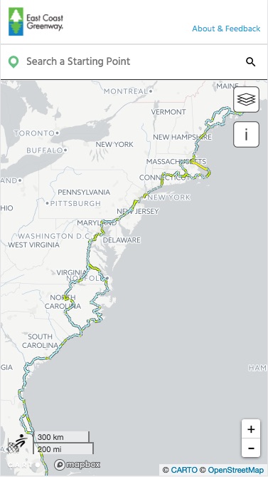
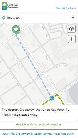
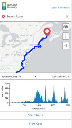
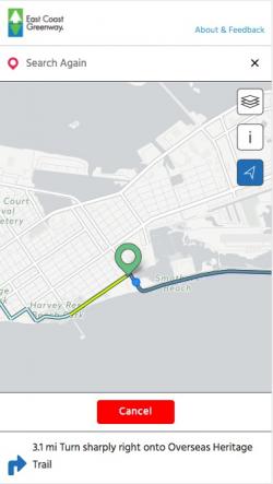
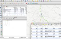
The East Coast Greenway is a remarkable custom-curated route, especially good for cyclists, that runs all the way from Key West, Florida, to Calais, Maine. It's the nation's longest connected biking and walking route, and the East Coast Greenway Alliance needed a revitalized online map and route planner to go along with a revamped overall web presence and a series of major events in summer 2017.

This project presented some deep challenges on top of what seemed at first pretty simple: Take an existing map and routing application with some significant usability issues and overhaul it with a new, clean interface and modern machinery under the hood. Since the data was working an existing app, it seemed likely to keep working.

Things got complicated, as they sometimes do, when we got under the hood. The existing app's usability limitations weren't just design issues. The underlying data was also a challenge.

Our GIS and interactive teams came together to overhaul and clean up the data, build a new client-side routing algorithm derived from years of experience, and then wrap the data and algorithm in a beautiful, mobile-first web application that draws data from the cloud (thanks to a grant from Carto.com), allows data editing by a distributed teams on multiple platforms (thanks to QGIS and some open source plugins).

Results: For the first time, the East Coast Greenway has a mobile-friendly routing web map that can take people all the way from Florida to Maine and back again.

Focus:   Recreation  

Services:  Interactive Solutions, GIS Services, Data, Applications Development, Web Mapping, Website Design 

Tags:   Trail finder, trails  

“ This is light years ahead of where we were. We're so thrilled with the work and the labor of love you have shown. ”

—  Niles Barnes, Director of Greenway Programs

Project Years: 2017

GreenInfo Network creates, analyzes, visualizes and communicates information in the public interest. We specialize in mapping and related technology for nonprofits and public agencies, focusing on using it for conservation, social equity, public health, environment and foundation grant making.
2201 Broadway, Suite M5
Oakland
CA
94612
United States of America