Similar Projects | All Projects for Client
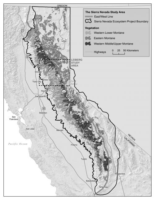
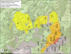
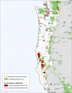
Since 2005, GreenInfo Network has worked closely with the John Muir Project, assisting with GIS analysis in the study of wildfire severity, wildlife habitat, and forest management practices in the Western United States.
Though the majority of our projects focus on creating maps as visual storytelling tools, we often use GIS to simply provide geographic analysis, in which deliverables are spreadsheets of data instead of map images. Our work with the John Muir Project is primarily assisting with analysis of fire severity data, land ownership, wildlife habitat, and forest types. Once in a while, we get to make a map of our analyses, and you can see samples of these projects here on this page.
Focus: Conservation, Environment
Services: GIS Services, Analysis, Data, Maps, Cartography
Tags: Fire, forests, Sierra Nevada, Wilderness, Wildfire, Wildlife
Project Years: 2005, ongoing