See This Project | Similar Projects | All Projects for Client
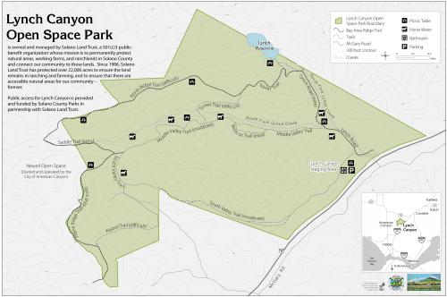
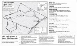
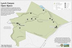
Many land trusts hold properties that are open for public use. The Solano Land Trust needed a display map for one of its publicly-accessible lands and asked GreenInfo to prepare a simple graphic that could be used in outdoor signage and in a brochure.
Lynch Canyon Open Space Park serves as an important buffer zone between the cities of Fairfield and Vallejo. Public access to Lynch Canyon is funded by Solano Land Trust and Solano County Parks. Our simple yet effective map helps hikers and equestrian users orient themselves to the parks many trails.
Focus: Conservation
Services: GIS Services, Maps
Tags: California, Esri ArcGIS, land trust, Solano County, trails
Project Years: 2010-2013