The Protected Areas Database of the U.S. (PAD-US) has become a central organizing framework for federal land managing agencies. With the advent of the new version 2 of PAD-US, USGS was asked to do a major presentation to Department of the Interior and requested that GreenInfo help it develop the Powerpoint for this event.
GreenInfo's long history with PAD-US and close relationship with the USGS team has led to a number of presentation projects, where GreenInfo uses its communication skills to better inform people about PAD-US. In this case, USGS was invited to convene a 90 minute seminar briefing on PAD-US, attended by some people in person and many more watching virtually.
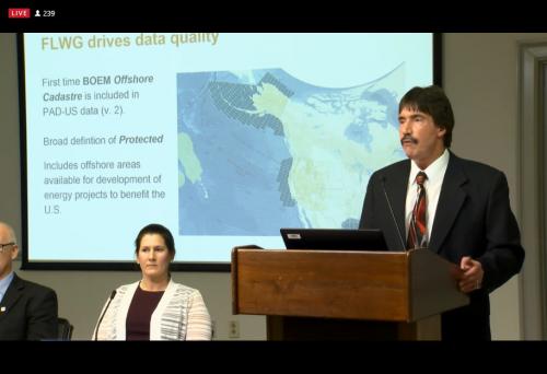
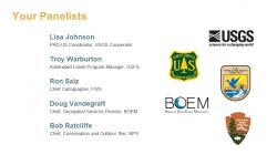
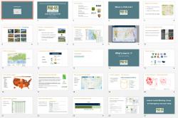
The presentation itself consisted of 65 slides, designed to support a five person panel- four federal agency leads for Forest Service, Fish & Wildlife Service, National Park Service, and the Bureau of Ocean and Energy Management, plus the USGS PAD-US Coordinator. The panelists represented the
Federal Lands Working Group, the coordinating body developed by the USGS PAD-US team to better assemble and improve the data from 13 federal land managing agencies.
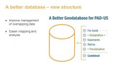
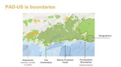
The key to the presentation was to develop a clear structure for the content as well as visual cues to assist users to understanding that structure. Within the presentation, there were a number of special charts and graphics that GreenInfo prepared - these illustrations are essential to quick visual recognition by users of complex data relationships.