Similar Projects | All Projects for Client
The fragmentation of rural land into every-smaller parcels is challenging a range of policy concerns, increasing wildfire risk and damages, threatening farming and ranching, degrading natural habitats and other effects. Based on its own research into these issues, GreenInfo created a project website to make this information publicly accessible.
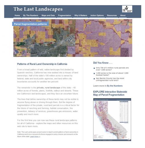
The loss of valuable farmland, habitat and other open space if often seen as mainly coming from the conversion of these lands to development. But the parcelization of rural lands into ever-smaller parcels can be equally damaging to natural working landscapes. In addition, fire risk and service costs rise greatly when rural parcels are fragmented. GreenInfo Network, supported by a grant from Wildspaces, developed a first-ever analysis of all the privately owned, non-urban lands in California.
Learn more about the data, mapping and analysis in this project
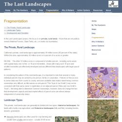
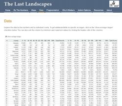
To make this information more accessible, GreenInfo developed a special web site. The site had a number of innovative and useful elements, including on-demand, zoomable maps for each county (downloadable as well), expanding tables showing the distribution of parcel data by county and parcel size range, and graphics and narrative describing the issues and findings in the study. Instead of a fixed report, the web site serves as the "report".
The site is no longer active.
Results: GreenInfo developed an informative website with the first analysis ever published of the fragmentation status of all private, non-urban land in California. This analysis shows that there are only a few "last landscapes" - areas that are largely intact and likely to be good candidates for conservation efforts.
Focus: Conservation, Environment
Services: Interactive Solutions, Web Mapping, Website Design
Tags: California, Esri ArcGIS, Last Landscapes, parcels, rural sprawl
Project Years: 2009-2011