Similar Projects | All Projects for Client
Tom Scharffenberger is a landscape architect and conservation planner who assists non-profit land trust and landowners with individual acquisition transactions, as well as the development of strategic conservation plans for entire regions.
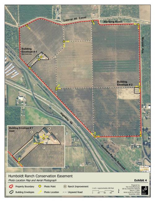
GreenInfo Network has been working with Tom Scharffenberger for many years. Most of the work we've done are maps for the Baseline Documentation Report which documents the current condition and conservation values of the property at the time a conservation easement is granted. This particular map was created for a California land trust.
Focus: Conservation
Services: GIS Services, Maps
Tags: easements, Esri ArcGIS, land trust, monitoring
Project Years: 2007 to current year