Similar Projects | All Projects for Client
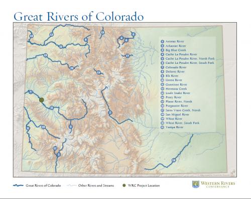
Reports often need simple, evocative maps. With a focus on major waterways, the Western Rivers Conservancy asked GreenInfo to develop a series of statewide report presentation maps.
The Western Rivers Conservancy approached GreenInfo to develop for a series of maps for inclusion in their Great Rivers of the West report. The 11 state maps in the series focused on the "Great" Rivers per state highlighted by the report. The maps are full page and were designed with fonts and colors to fit seamlessly into the layout of the report, while also being able to be used as a freestanding illustrations.
Focus: Conservation, Environment
Services: GIS Services, Maps
Tags: design, Esri ArcGIS, rivers, watershed, western rivers conservancy
Project Years: 2011