See This Project | All Projects for Client
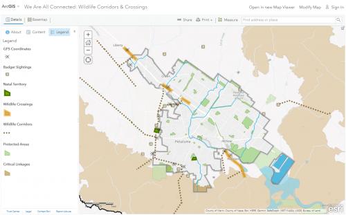
Over the last 21 years naturalist Susan Kirks has conducted field observations and recorded notes on American Badgers in and around Petaluma, California. Susan’s efforts are geared towards protecting and conserving American Badgers and their habitat.
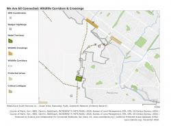
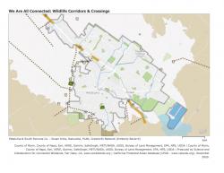
We developed an ArcGIS web map, We Are All Connected: Wildlife Corridors & Crossings, as a community science product in action. By using ArcGIS Online, we were able to collaboratively work with Susan and produce this map as part one of a three part series of web maps, the other two of which will focus on the Sonoma County coastal corridors and Marin County coastal and inland corridors. The web maps allow for very flexible use cases since the map layers and scale are customizable to view online or for printing, and the default or custom map settings are shareable through a link. Susan plans to use this map as a resource for education about wildlife corridors and the importance of land conservation.
Focus: Conservation
Services: Interactive Solutions, GIS Services, Maps, Cartography, Web Mapping
Project Years: 2021