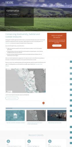
The Moore Foundation is one of the world's largest philanthropies, based in the San Francisco Bay Area and funding science, health, and environmental conservation. The foundation's work in the Bay region mainly focuses on helping conserve specific parcels of land and encouraging particular science-based conservation initiatives in the area. GreenInfo has worked with the foundation on many occasions and was asked by them to develop a tracking system to show all of their considerable accomplishments through an interactive map application.
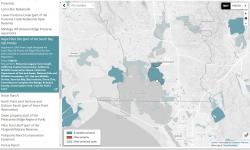
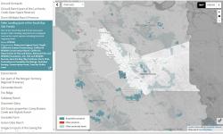
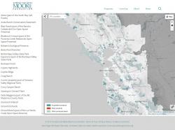
Using GIS data on the projects that the Moore Foundation had worked, GreenInfo started by assembling a geospatial database and using it to get a sense of the coverage of areas to be shown in the interactive map.
The features that the foundation needed included:
- A simply-designed full-page map with immediate access to projects and links to detail pages
- A look and feel that matched the foundation's overall web design scheme
We emphasized simple cartography using Moore's brand colors, and we took advantage of current technology from both MapBox.com and CARTO.com to rapidly build create a visually customized, easy-to-use map that's also easy to update.
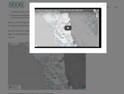
The project resulted in a very graceful web map that connects well to the foundation's more extensive information on each project. To help orient users, the foundation also prepared a YouTube video that explains the site.
Focus: Conservation, Philanthropy
Services: Interactive Solutions, Web Mapping
Project Years: 2017