Similar Projects | All Projects for Client
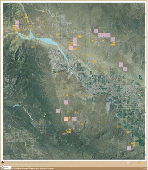
GreenInfo Network was asked by Friends of the Desert Mountains (FODM), a land trust that works to protect desert areas of California's Coachella Valley, to develop a data and mapping support system for their property holdings.
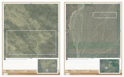
GreenInfo digitized 164 FODM holdings and developed a database of related GIS information. Using that database, GreenInfo then created a template for field maps, developing a grid of over 60 maps for a 1,200 square mile area. The maps were produced using automated GIS cartographic production tools which required approximately 15 hours of production time for the entire set. GreenInfo then provided advice for FODM on use of GPS devices to record more information about their holdings and other properties.
Focus: Conservation
Services: GIS Services, Data, Maps
Tags: California, desert, Esri ArcGIS, land trust, PWC, survey
Project Years: 2008