Similar Projects | All Projects for Client
Putting a map in front of public officials when you’re trying to convince them to spend money on land conservation requires some careful visual design. GreenInfo helped a local conservation group make a map with a powerful pitch.
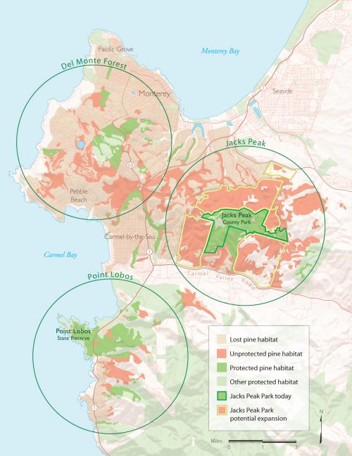
When they asked GreenInfo for help, we started with the question, “what’s your one-liner?” After a number of map studies and discussion, it came down to this: there are only a few remaining pine forests in the area, and there are three immediate opportunities to protect them.
The resulting map that GreenInfo prepared used soft colors
to drop lots of other information into the map but place it in the background, with
color-keyed circles to draw attention to opportunities, one of which was given
special emphasis, as it became a short term focus. GreenInfo's Louis Jaffe worked extensively on the map design and on defining the careful color and cartography used in the map.
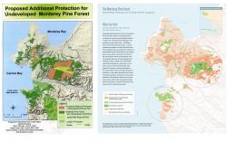
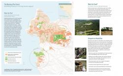
This base map was then used to support
brochures and other products, where titling and ancillary text could be
added., work done by designer Karen Parry of BlackGraphics. The same map styling was applied
to other areas nearby, giving all the products an organizational look.
While MPFW no longer exists, its core members helped publish a handsome book on the Monterey Pine Forests in 2011, which also used the original maps developed by GreenInfo. You can learn more about this book here.
Focus: Conservation
Services: GIS Services, Communications, Publications, Maps, Cartography
Tags: California, Esri ArcGIS
Project Years: 2005, 2010