See This Project | Similar Projects | All Projects for Client
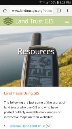
There are over 1,500 land trusts in the United States, and many of them use GIS to fulfill their missions of protecting lands for farming, forestry, habitat and other environmental purposes. GreenInfo has worked with many such groups, on mapping, analysis and web projects. In 2006, we developed and published LandTrustGIS.org, with grant support from the Packard Foundation, as a resource for land trusts seeking to know their technology choices and best GIS practices. In order to provide a more modern and up to date resource, we redesigned the website in late 2016, returning it to public access.
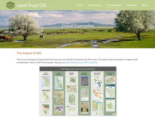
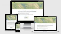
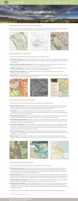
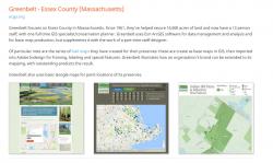
During 2016 we started an internal initiative to develop a more modern, responsive (works on phones/tablets) site, with content more appropriate to current technology. The site launched in October 2016, just before the Land Trust Alliance Rally, the annual event where GreenInfo has presented a GIS overview panel for many years running. The new site has a focus on best GIS practices for land trusts of difference capacity levels, features an initial set of example land trust cases, and has resource links.
Web site visitors can also download the GreenInfo factsheet on Land Trust GIS Best Practices (PDF).
The web site was developed using custom programming, with Skeleton CSS as the responsive CSS framework. Additional libraries included Parallax.js for displaying header images, Lightbox for the overlay images, and expandable navigation from CodyHouse.
Focus: Conservation, Environment
Services: Interactive Solutions, GIS Services, Training and Support, Website Design
Tags: land trust, Land Trust Alliance
Project Years: 2016