See This Project | All Projects for Client
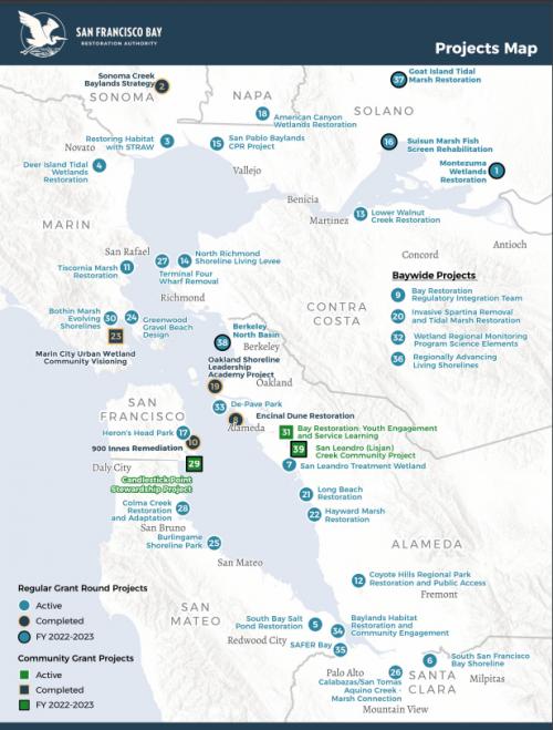
The San Francisco Bay Restoration Authority (SFBRA) is a regional agency created to fund shoreline projects that will protect, restore, and enhance San Francisco Bay through the allocation of funds raised by the Measure AA parcel tax. GreenInfo Network support SFBRA's work by updating data, and creating static and interactive maps about SFBRA projects.
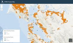
GreenInfo Network updated the Economically Disadvantaged Community (EDC) - communities with a median household income less than 80% of the county median income - layer with the most current U.S. Census American Community Survey data and income levels for all nine counties in the San Francisco Bay Area. GIN created an interactive Esri AGOL map showing this data alongside SFBRA project locations.
GreenInfo Network also created two static maps of SFBRA granting programs with EDC and current project data, alongside other relevant basemap data. The maps show current and completed projects. The print maps were developed to be ADA-compliant per California State requirements. We also created layout templates, and provided training to SFBRA so that staff can update the data and maps in the future.
Focus: Conservation, Environment, Social Justice/Equity
Services: Interactive Solutions, GIS Services, Analysis, Data, Maps, Training and Support, Cartography, Web Mapping
Project Years: 2023