Similar Projects | All Projects for Client
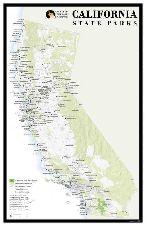
When you're the main advocate for California's State Parks, it's helpful to have a map showing all the parks you're working to improve and protect. California State Parks Foundation asked GreenInfo to created just such a poster map.
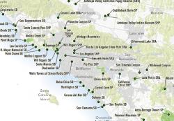
While some maps of state parks are extremely detailed, GreenInfo encouraged the California State Parks Foundation to move to a simple, elegant map that could show the geographic diversity of the state park system, in relation to all other protected areas in California.
Using ArcMap GIS software, we converted all state park polygons into centroid points, which were used in developing very detailed and precise label placement (we converted standard labeling into annotation with leader lines) - for most labels we needed to hand-place their location after using automated placement to start, due to the density of the labels. It's tedious the first time, but creates a much more powerful result and future versions of the map can quickly use the same labeling system.
The map is designed at 11"x17", but can be printed larger. The tabloid size allows anyone at the California State Parks Foundation to print copies for specific needs. This map is updated every year.
Focus: Economic Development, Government Agencies, Recreation
Services: GIS Services, Maps, Cartography
Tags: California, Esri ArcGIS, parks
Project Years: 2012, 2017, on going