Mapping the resilient Northern Great Plains

Tribal Partnerships
Client:   The Nature Conservancy

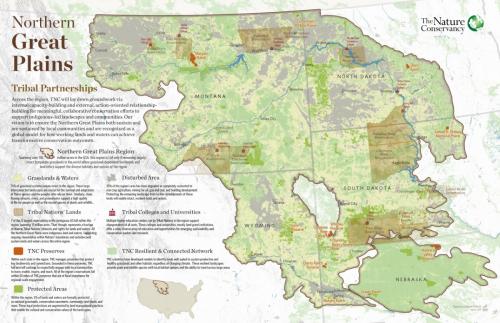
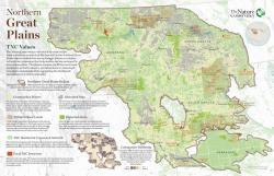
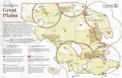
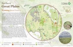
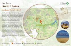
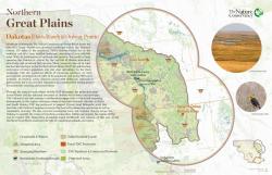
The Nature Conservancy has a big, landscape-scale story to tell about its work with Native tribes and ranchers across the prairies of the Northern Great Plains. So we made a series of six showcase maps of the work, including three thematic views of the whole regions and three highlights of specific TNC preserves.

This project presented a challenge to incorporate complex messaging and vastly different map scales across several maps that we wanted to have a clear family resemblance while also each presenting its distinct message. 

We built the maps entirely in ArcGIS Pro, including setting all type, iconography, and inset photos. These maps won First Place for a Map Series or Atlas at the 2020 Esri User Conference, the world’s largest mapping industry event.

Focus:   Conservation  

Services:  GIS Services, Communications, Graphic Design, Maps, Cartography 

Tags:   ArcGIS Pro  

Project Years: 2019

GreenInfo Network creates, analyzes, visualizes and communicates information in the public interest. We specialize in mapping and related technology for nonprofits and public agencies, focusing on using it for conservation, social equity, public health, environment and foundation grant making.
2201 Broadway, Suite M5
Oakland
CA
94612
United States of America