Similar Projects | All Projects for Client
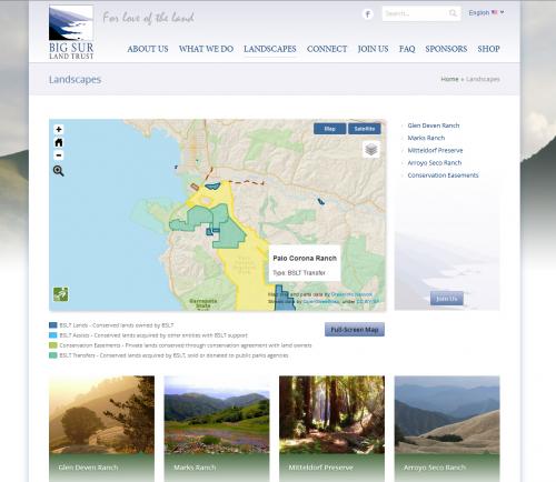
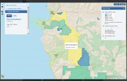
The longstanding and very effective Big Sur Land Trust has remodeled how it presents itself, shifting to emphasize its community engagement roles and not just its considerable land holdings. In developing a new website, the land trust asked GreenInfo to both advise on its website design, and to build a web map that would be a platform for both of its main roles.
GreenInfo advised the Big Sur Land Trust on its overall approaches to web design, then dug into a web map element for the new site. This work included significant GIS data editing to accurately show the trust's holdings and other related parks and open space areas (which were drawn from GreenInfo's CPAD database).
The web map is built using OpenLayers with data stored in a PostGIS database and served as GeoJSON. Visitors can roll over featured properties on the map to show more information or click the map to query the CPAD and BSLT databases. The base layer is our custom ParkInfo cartography.
Focus: Conservation
Services: Interactive Solutions, Web Mapping
Tags: Big Sur, California, land trust, Monterey
Project Years: 2013