Similar Projects | All Projects for Client
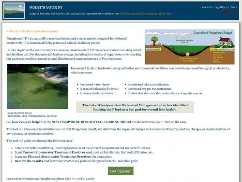
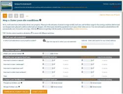
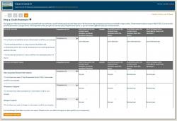
Runoff from lawns and farming can lead to a build up of phosphorus which can trigger algae blooms and other water quality problems. The Lakes Region Planning Commission wanted to move from an older, downloadable spreadsheet, used by property owners and others to calculate possible phosphorus loads and options, to an interactive web tool and asked GreenInfo Network to solve that problem.
Point-source water pollution, such as discharge from factories and waste water treatment plants, is generally well-regulated under the Clean Water Act. However, non-point source pollution, what gets picked up by water running across our residential lawns, parking lots, streets, and agricultural fields, is more difficult to quantify and control. This type of water pollution includes fertilizers from lawns, motor oil from roads and parking lots, pesticides from crops, and any household or commercial waste that get washed or dumped into local storm drains. Unlike point-source waste water, water transported through storm drains is often untreated and flows directly into our local rivers, lakes, and oceans. This becomes a difficult problem to tackle since the source of the pollution is distributed across the landscape and is often attributable to common, everyday activities such as watering a lawn or driving a car. Therefore, public education is currently one of the best ways to try to reduce this pollution source.
The Calculator is accessed through the Lake Winnipesaukee Gateway web site, which GreenInfo Network created earlier for the Lakes Region Planning Commission - read more about this project »
Focus: Environment, Public Health
Services: Interactive Solutions, Applications Development
Tags: Lakes region, Lake Winnipesaukee, New Hampshire, phosphorus, water quality
Project Years: 2011-2012